AeSystem
AeSystem is a high-performance LiDAR and photogrammetric equipment that allows geospatial services to be provided anywhere in the world, obtaining excellent results.
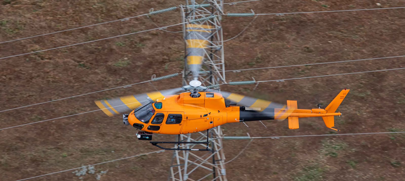
AeSystem is the perfect solution for inspection projects of power lines and linear works such as roads, railways, oil pipelines, ...
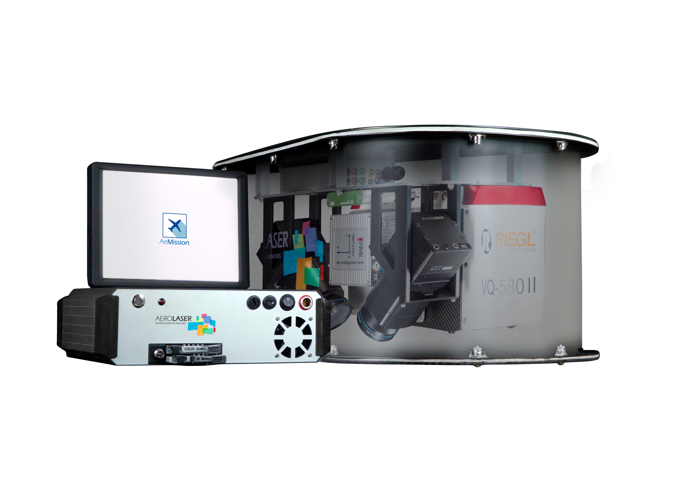
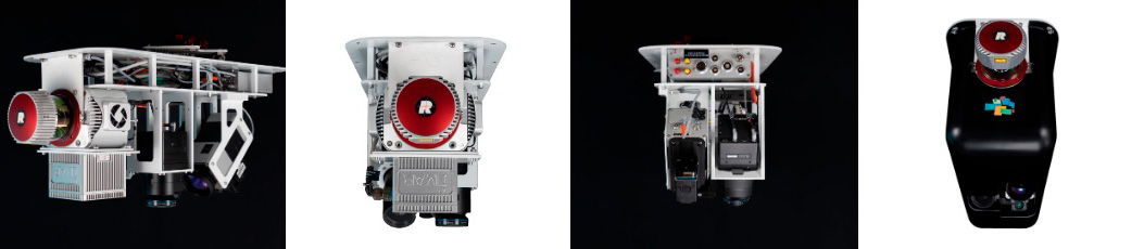
The AeSystem system is made up of a group of configurable sensors that allow the installation of up to 6 photographic cameras (RGB OR NIR between 100 or 150 megapixels), thermal cameras and high-resolution video cameras. These cameras are accompanied by a laser scanner (selection between RIEGL: VUX-1LR22, VUX-240, VQ-480ii, VQ-580ii) for the generation of a georeferenced point cloud, which allows studies to be carried out for multiple applications. The system control unit is the AeCU, made up of a GNSS and IMU, which synchronizes and controls each sensor. AePC is in charge of powering the equipment and managing the acquired data in an efficient and simple way, through a single AePC. Finally, all the sensors are controlled and parameterized through an application called AeMission, which has been developed by AEROLASER. The system is fully configurable at the request of the client or to meet the technical needs of the project.
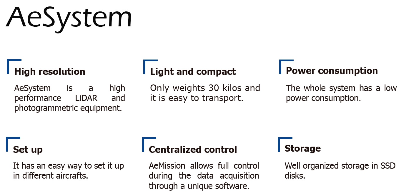
Despite the number of sensors it houses inside, its dimensions are small, it weighs about 30kg and is easy to transport. Its design has been studied, especially to carry out projects around the world.

|
It can be easily installed on different types of aircraft. |
 |
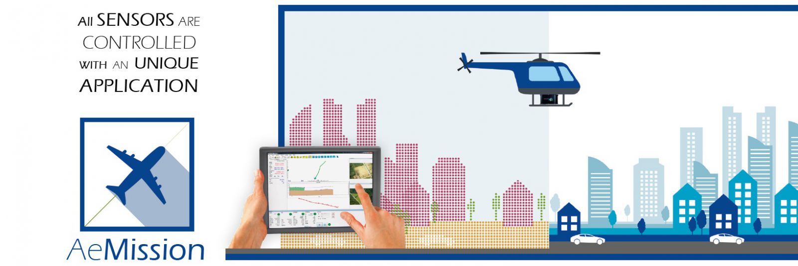
The flight management software is AeMission, our Flight Management System, FMS. Through this application you have total control of all the sensors and their parameterization during data acquisition. In real time, the data from all the sensors is displayed on the flight screen to guarantee quality data collection. It has an aid to the pilot in command where it marks the route to be carried out and if it is deviating from it. Another important factor is the solid and orderly structure in which you store your flight data. Organized in a folder per project, data is stored by project, session, sensor type, flight lines, date and time, speeding up future tracking and file search processes.
Learn more about: