Aerolaser celebrates its 15th anniversary
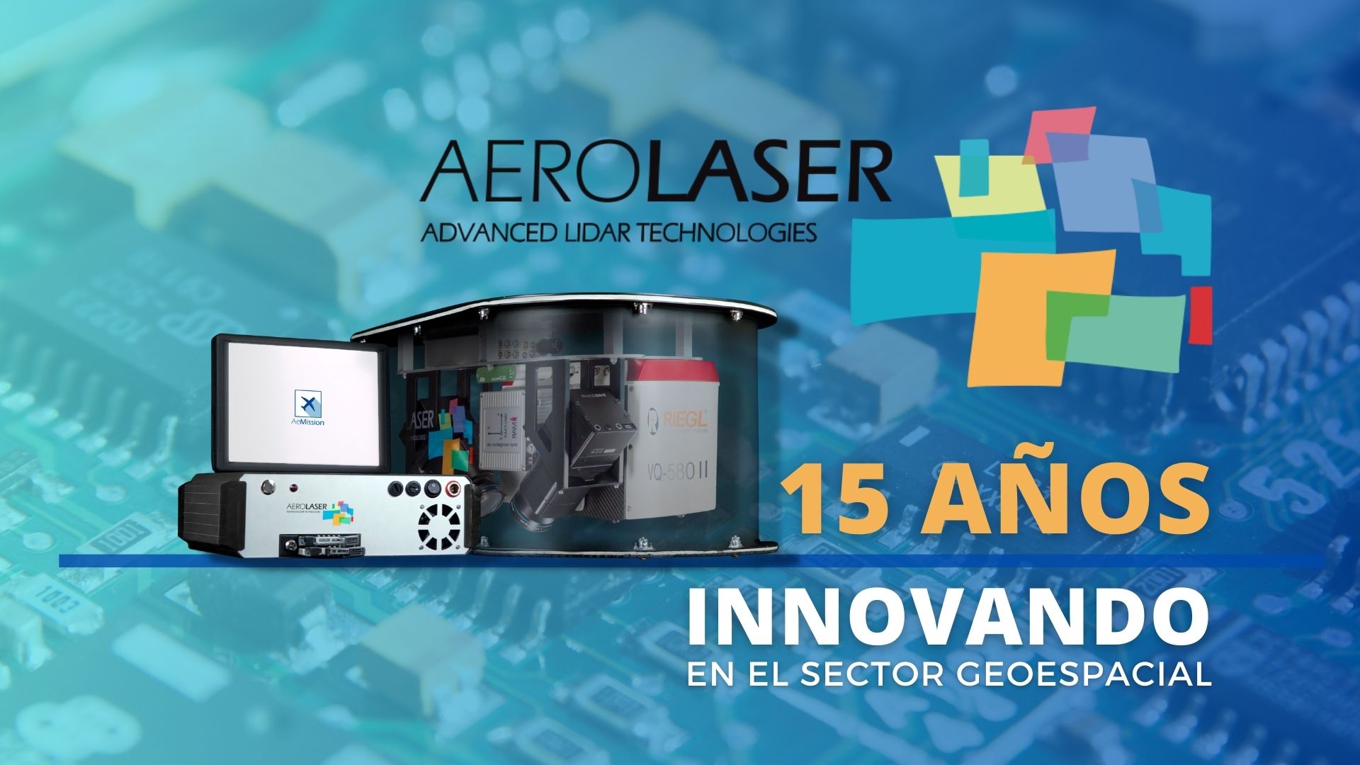
Aerolaser System celebrates 15 years of providing innovative technological solutions in the geomatics sector. During this time, our commitment and efforts in research, development and innovation has resulted in the development of the most advanced sensor systems in geospatial technology, providing highly competitive services worldwide.
Since our foundation in 2008, our priority has been to listen to our costumers in order to offer the most efficient solutions for their projects and needs. We have also integrated all the phases of research, development and innovation, using our own technology to provide services and implement projects. This allows us to optimise and improve our systems.
The versatility of our developments enables us to provide geospatial services worldwide by land, sea and air. Our services can be applied to many sectors: inspection, cartography, agriculture, engineering, aviation, environment or construction, among others.
Aerolaser System has revolutionised the way geospatial data is collected and analysed over the last 15 years. Our lastest-generation sensor systems provide accurate and detailed data collection, facilitating the study and the understanding of our environment. From topographic mapping to power line inspection, our products have proven their effectiveness in a wide range of applications.
Our vision is to use this technology to improve sustainable development and enhance the decision-making process in various industries, reducing the impact of their actions on the real world. This is how one of our latest developments was born: DALIA. DALIA is an active inspection platform that creates a digital twin of the electricity network and allows the prediction of anomalies or failures by creating fictitious scenes with different atmospheric conditions, vegetation cover and other variables that could caused network failures or fires.
According to our CTO, Tomás Herrera Azorín: “It has been a long, hard but rewarding journey. Aerolaser has progressed over the years to consolidate itself as a solid company in the national market, and has also immersed itself in international markets. We have developed R&D projects of great technological depth, resulting in leading products. In the short term, other even more significant projects will emerge, which we are keen to publish and showcase. We have laid the foundations to become the technology company of national and international importance in the field of airborne LiDAR systems in the coming years”.
At Aerolaser, we aim to continue to expand our presence and leadership in the geospatial industry. With our focus in R&D, we are ready to meet the challenges of the future and continue to be a key player in our industry.